 Tea For Streets

Every great city deserves great streets.
For cities, districts, property owners and primes.



The power of three. The simplicity of one.
Three distinct intelligence engines operating as a single core. Engineered to remove the friction between infrastructure analysis and real-time community impact.
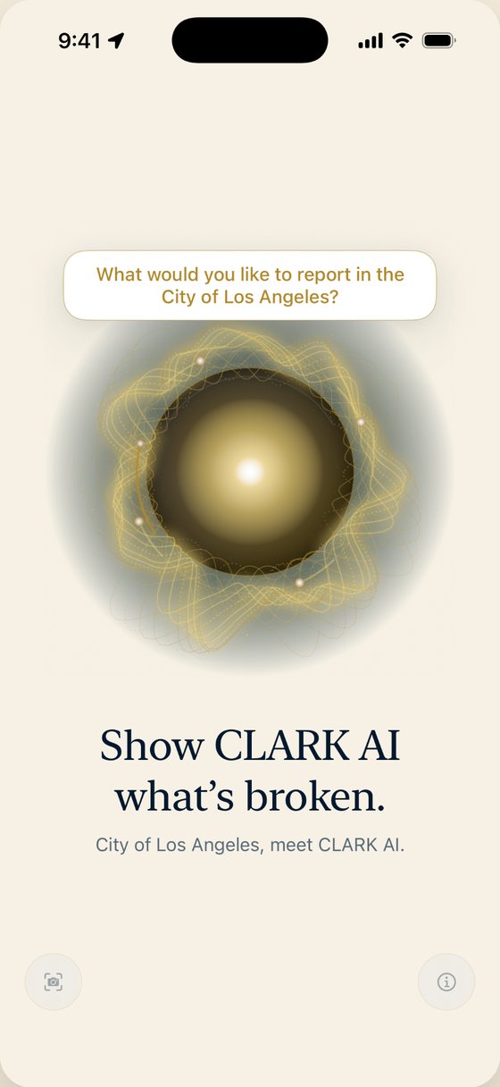
CLARK App
Report a street problem in one sentence. CLARK files it and follows it.
Learn more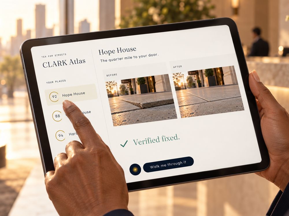
CLARK ATLAS
A scored condition report for the blocks around your properties.
Learn more
CLARK POD
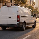
Being built to read the street from vehicles already on the road.
Learn moreCLARK hates potholes as much as you do.
So it logs the hazard, dispatches the city, and tracks the repair until the road is smooth.
Advanced spatial mapping, automated tracking, and complete mobility solutions. Unified into a single, seamless ecosystem built to transform raw street data into immediate civic action.
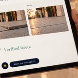
The photo sees it. The LiDAR measures it.
Today you get an opinion. We give you a number. Every capture is RGB + LiDAR, fused on one phone: the camera classifies the condition, the depth sensor measures it. Drag to compare the two sensors on the same frame.
Built for the minds mapping the future of mobility.
Cities and public works
Reviewed, located requests and an outcome record you can bring to council.
CLARK AppDistricts and property owners
A scored view of the blocks around you, and proof of what changed.
CLARK ATLASFleets and partners
Help decide where CLARK POD drives first.
CLARK PODPrimes and agencies
A certified small business for field data, GIS and AI work.
Services- State of CaliforniaDGS Certified Small BusinessMicro · #2054061
- City of Los AngelesSBE, SBE-Proprietary & EBERAMP #224797
- County of Los AngelesLSBE, CBE & Social Enterprise#101858 · #101857 · #101859
- Port of Los AngelesVSBEVery Small Business Enterprise
- LA MetroSBESmall Business Enterprise · AI technology
Eligible for direct state, county and local procurement.