Tea For Streets

The short version
What is funded
- Sidewalks near venues
- $9.5 million, authorized by the City Council on April 21, 2026, for venues, fan zones, and key routes.
- A capital program
- 29 Olympic and Paralympic legacy projects in the City's first Capital Infrastructure Program, 16 funded in the FY2026-27 budget.
- State money
- $96.5 million for Exposition Park, plus $7 million in LA28 bills signed September 20, 2026.
- The clock
- Less than 22 months to the Opening Ceremony, from the date this was updated.
What is missing
- A baseline
- Block by block condition data on the routes fans will actually walk and roll, around each venue.
- Measurements
- Dated, located photographs, with a number wherever a number is possible.
- A re-walk
- The same routes again in 2027 and in spring 2028, published with a denominator.
- An inventory
- The 2021 audit found no comprehensive assessment of sidewalk and curb-ramp conditions. Nothing public says one exists now.
- The scale: Los Angeles has nearly 4,000 miles of sidewalk in total, and the 2021 Controller audit identified roughly 50,000 reports of sidewalk problems sitting outside the main repair program. The Controller warned that one part of the City's certification process could take centuries at the pace then reported.
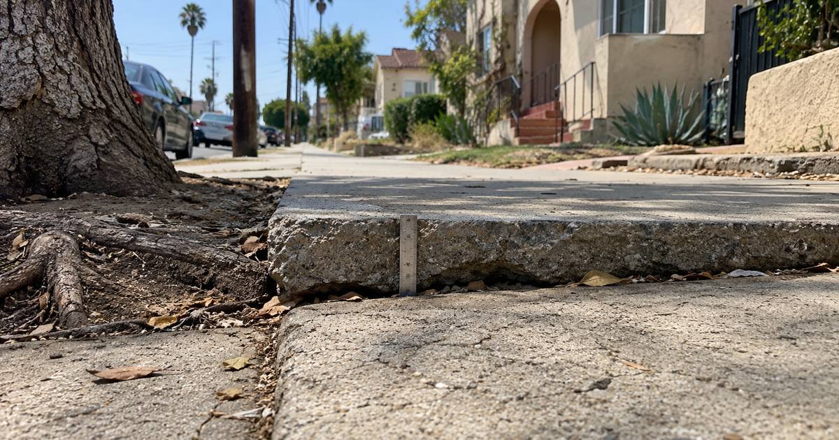
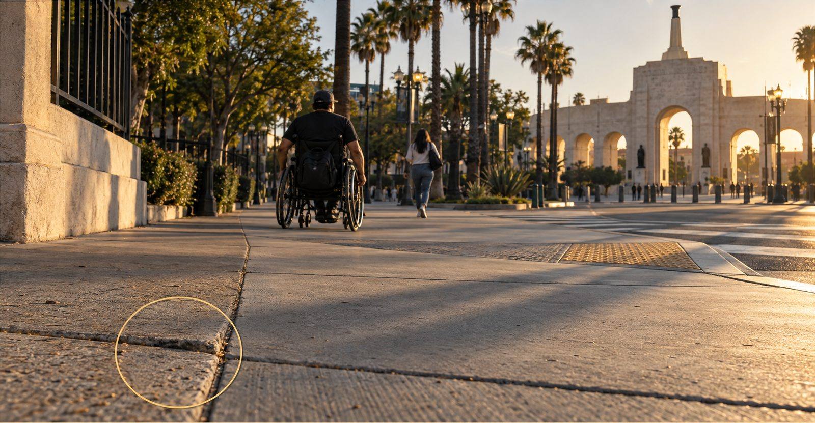
- The accessibility test: the Paralympic Games make it central. The City's Sidewalk Repair Program treats uplifts greater than one-quarter inch, widths under four feet, cross slopes over 2 percent, and gaps or grates over one-half inch as accessibility issues.
What does “ready” mean for a street?
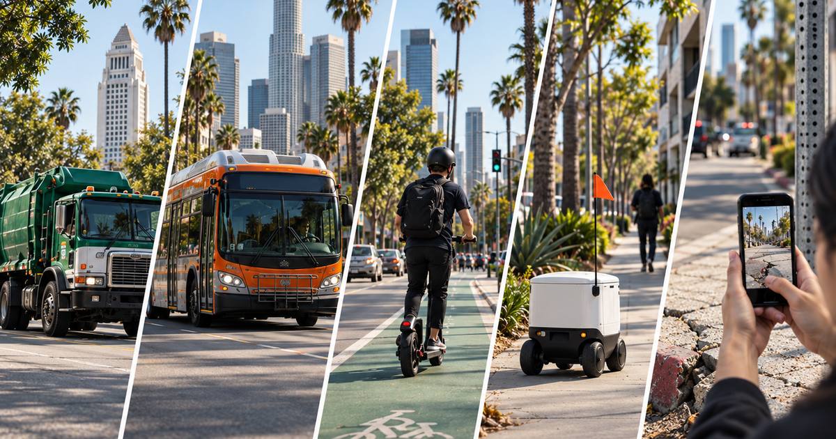
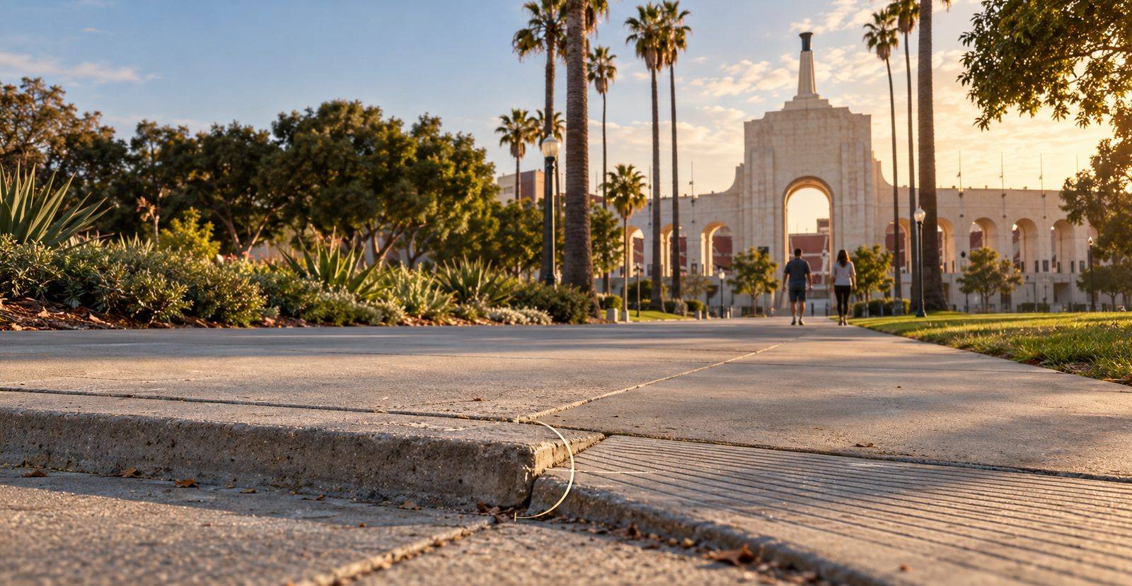
Ready for the Games is a narrower question than “fixed,” and it should be. LA28 is planned as a no-build Games using existing venues, and a fan's experience of the City is the last half mile: transit stop to gate, hotel to fan zone, parking to the Coliseum. The relevant question is whether those specific routes are walkable, rollable, lit, and clean on a specific date.
Four things make a route ready:
Sidewalk surface
Los Angeles' Sidewalk Repair Program identifies accessibility problems including uplifts greater than one-quarter inch (6.4 mm), sidewalk width under four feet, cross slope over 2 percent, and gaps or grates over one-half inch. Useful screening criteria for a route baseline, not a substitute for a formal ADA compliance determination. See Why do LA sidewalk repairs take longer than potholes?
Curb ramps and crossings
A route assessment should record whether usable curb ramps and accessible crossings are present along the path, because a continuous sidewalk is only useful if a person can move through each intersection.
Lighting
On March 25, 2026, Mayor Karen Bass launched a two-year initiative to repair or replace up to 60,000 streetlights using solar technology. For venue routes, the measurable question is whether the lights along the route are operating when visitors actually use it.
Roadway
Potholes and failed patches matter on shuttle, bicycle, and accessible pickup routes. The 2021 sidewalk audit noted that temporary sidewalk repairs averaged 41 days at the time, against roughly three days for pothole repair, a reminder of how differently infrastructure categories move through City workflows.
A practical readiness baseline would measure all four categories and then repeat the same route assessment before the Games.
What has the City actually funded?
More than a year ago the honest answer was “not much specific to the Games.” That has changed.
What Los Angeles has put on the table for LA28 streetsPublic commitments, dated, and the question each one leaves open
Why is the baseline the actual problem?
Because $9.5 million buys a few miles of sidewalk, and the City cannot say which miles matter most without a measured inventory of the venue radius.
The scale gap is real. The Controller found in 2021 that the Sidewalk Repair Program had completed construction at a little more than 2,100 sites, while Public Works had received thousands of accessibility and rebate requests. Separately, StreetsLA held roughly 50,000 reports of sidewalk problems that were not being addressed through the main Sidewalk Repair Program. The Controller recommended a broader sidewalk and curb-ramp assessment so the City could identify and prioritize the locations with the greatest need.
The City's own queue shows what the gap costs in time. The Access Request Program, the lane for people with mobility disabilities, scores each request on three criteria worth 15 points apiece, a residential location, proximity to transit, and time already spent in the queue, and quotes a wait of three to six years for a request with the highest possible score. A request scoring 30 is quoted at more than ten years.
That is the relevant gap for LA28. Choosing where limited venue-area repair dollars should go requires knowing, block by block on routes within City of Los Angeles jurisdiction, where accessibility and maintenance problems are, how severe they are, and when they were observed. The 2021 audit specifically identified the value of a broader condition assessment; the public sources reviewed for this article do not establish that a complete, current venue-route inventory now exists.
The financial stakes extend beyond construction budgets. Los Angeles has also faced substantial citywide liability payouts, but those totals include many kinds of claims and should not be treated as the cost of broken sidewalks alone. For LA28 readiness, the more defensible case for a measured inventory is operational: it creates a dated basis for prioritizing repairs, documenting changes, and checking the same route again before the Games.
How would you build a venue-radius baseline in 2026?
Not with survey-grade lasers. We wrote about the cost of that approach in Do cities need LiDAR to know what is wrong with their streets? The method that fits a 22-month window looks like this:
- STEP 01
Define the routes, not the neighborhoods.
For venues and fan zones within City of Los Angeles jurisdiction, identify the walking and rolling routes from nearby transit stops, designated pickup or rideshare areas, and other expected arrival points. The number of block faces should be set from the actual route network rather than assumed in advance.
- STEP 02
Walk each block face with a phone.
Photograph every condition, measure the ones that can be measured (vertical displacement, width, ramp presence), and attach a location and a date. An iPhone with LiDAR gives depth and dimensions, not just photos; a non-LiDAR phone gives estimates, labeled as estimates.
- STEP 03
File every condition through official 311 channels.
One case per condition. The case reference is the City's own record, and it is what a council office can act on.
- STEP 04
Track each case to closure.
Received, active handling, terminal outcome. Closed is not fixed; see Why should cities track outcomes instead of counting submissions?
- STEP 05
Re-walk in 2027 and again in spring 2028.
Same block faces, same measurements. The delta is the readiness report. Publish it with a denominator.
For a defined set of City of Los Angeles venue routes, that becomes a bounded fieldwork problem rather than an attempt to inventory every sidewalk in the city. CLARK AI supports steps two through four today: a photographed, located, dated condition, filed through official 311 channels after human review, tracked to a City reported outcome, and held in one record. Pothole depth is measured in the app. Sidewalk lift is a number the sensor can resolve and the product does not yet report, so on a sidewalk today the record is the photo, the location, and the date, with the measurement to follow when that mode ships.