Tea For Streets

The short version
The survey van
- What it carries
- Survey grade lasers and cameras that score pavement to the millimeter.
- What it costs
- Hundreds of thousands per unit, $100 to $200 a mile to run.
- How often it passes
- Every two to five years.
- What it sees
- The travel lane. Not the bike lane, not the sidewalk.
- What it answers
- Which streets to repave next year.
The street, already moving
- What it carries
- Cameras and motion sensors bought for other jobs.
- What it costs
- Already paid for. Ferris, Texas ran a citywide pass on a $10,336 contract.
- How often it passes
- Many times a day on the blocks it serves.
- What it sees
- Roadway, bike lane and sidewalk, at every height a person uses the street.
- What it answers
- What is broken on this block today, if the report goes somewhere.
- The standard costs: automated pavement surveys run $100 to $200 a mile, and survey grade LiDAR units "often cost hundreds of thousands of US dollars." Agencies interviewed in a 2022 study called the services too expensive, and quality checks still needed people reading the images.
- The standard cadence: yearly on the Interstate, every two years on other federal routes, every two years on local arterials and every five on residential streets under the standard Bay Area cities certify against. Conditions residents report change in days.
- The robotaxi answer is not a city answer. Waymo's newest vehicle carries 13 cameras, 4 lidar, and 6 radar and sees 500 meters, with redundancy the company says exists for safety. Tesla's crowd built rough road map exists to lift Tesla suspensions. Neither was built to file a work order.
- What is already on the street: a Texas city surveyed all 29 of its miles with a phone on a dashboard in six hours of driving on a $10,336 annual contract. LA Metro buses carry AI cameras that read the roadway every day. More than 500 delivery robots work 40 Los Angeles neighborhoods, and their maker's fleet logs about a million miles of sidewalk data a month. Los Angeles already receives real time data from scooters and delivery robots for permitting.
- Our own receipts: the reports we file through official 311 channels come from a phone, a person, and a case number. Potholes closed in a median of six days. That loop cost the City nothing in hardware.
What does it cost a city to know the condition of its own streets?
Start with the instrument the industry trusts. A pavement survey van carries cameras, an inertial profiler, and a laser crack measurement system that scores every tenth of a mile for roughness, rutting, and cracking. It is a remarkable machine, and it is priced like one. A 2022 review of mobile mapping systems in the journal Sensors put it plainly: survey grade LiDAR units "often cost hundreds of thousands of US dollars," while the automotive grade units used on self driving cars are about ten times cheaper. The service built around the van is not cheap either. A 2022 study in the ASCE Journal of Transportation Engineering surveyed agencies and vendors and reported that a high quality automated survey runs $100 to $150 a mile from vendors, that the Virginia DOT spends $100 to $200 a mile once an independent third party manually checks the images, and that a small Iowa city took five bids and paid $105 a mile. The interviewees' verdict, in the study's words: current automated data collection services are too expensive, and quality assurance still requires too much human intervention. Minnesota cut its cost to about $40 a mile by buying its own vans, which it replaces every five to six years.
Now put Los Angeles on that meter. StreetsLA maintains 23,000 lane miles of streets, more than 7,500 miles of road by Streets for All's count, tracked as more than 72,000 segments, and it takes in roughly 200,000 service requests a year. At $100 to $200 a mile, one pass over those road miles is $750,000 to $1.5 million before a single pothole is filled, and the pass happens every few years, not every week. That is our arithmetic on the study's range, and it is the conservative version; priced per lane mile it is roughly three times higher.
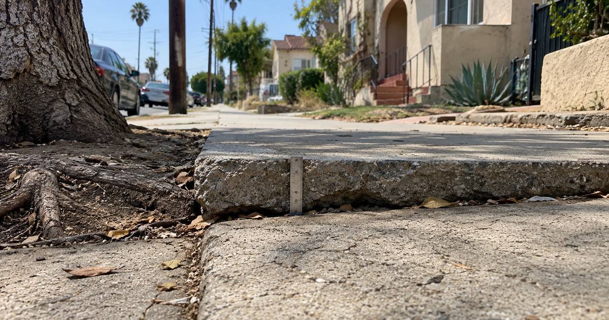
What the City gets for that money is a planning score, the Pavement Condition Index, and the score is only as fresh as the last pass. Streets for All, a Los Angeles advocacy group, pulled the City's segment level PCI data this spring for a model of the network's decline and found the age to condition relationship "scattered and as bumpy as an unmaintained LA alley." Their read is that the City does not measure recently repaved streets at all and instead estimates their condition from a curve, and their public records request for historical PCI data was denied. The same report notes that the City's dataset of curb ramps was generated from satellite imagery rather than surveys, and that a full sidewalk and access ramp inventory is "years away." The Controller's 2021 audit found the City had no inventory of sidewalk conditions, that a full survey had been priced in 2012 at well over $10 million and two to three years, and that Seattle assessed all 2,336 miles of its sidewalks for $400,000 in 15 months with engineering interns and tablets. Caltrans's research division then spent January 2024 to December 2025 piloting LiDAR to inventory sidewalks, after a survey of all 50 state transportation departments found no consistent way to assess sidewalk accessibility at all. See Why do sidewalk repairs in Los Angeles take so much longer than potholes?
None of this is a city failing to try. It is a city buying the only instrument the market has been selling, at the only cadence it can afford, while the pavement preservation budget fell from $141.4 million in 2020 to just over $70 million in 2025. When the survey is the expensive part, you survey less often, and the data goes stale between passes.
Why the robotaxi fleets will not solve this for you
The most advanced street sensing on earth is already driving around Los Angeles. It belongs to Waymo and Tesla, and it is worth being precise about what it is for.
Waymo's sixth generation vehicle carries 13 cameras, 4 lidar, 6 radar, and external microphones, with overlapping fields of view out to 500 meters, day and night. Waymo's own description of why: "Redundancies are essential in an autonomous driving system to provide safe backup functions for assured reliability and for unexpected weather." That stack exists to keep a human in the back seat and a pedestrian in the crosswalk alive, and it will always be more capable than anything a city buys to find potholes, because the consequence of missing something is a death, not a slow work order. Tesla went the other way, cameras only, and in 2022 quietly turned its fleet into a road roughness sensor: the release notes say the adaptive suspension will "adjust ride height for an upcoming rough road section" using "rough road map data generated by Tesla vehicles." That map exists to protect Tesla suspensions. It is not a 311 feed, and no city can plan around it.
The cost curve tells the rest of the story. The Velodyne rooftop lidar on the original Google car cost some $75,000 apiece. By January 2017 Waymo said its own lidars cost 10 percent of that. In late 2024 the Chinese lidar maker Hesai said its next generation unit for driver assistance would sell for under $200. So the sensor is no longer the moat. The moat is the fleet, the engineering, and the capital, and a city that sets out to compete with that is bringing a survey van to a fight the robotaxi companies already won for a different prize.
A pothole photo does not need a 500 meter sensor stack. It needs to be taken by something that passes the pothole, and then it needs to go somewhere.
What the streets already carry
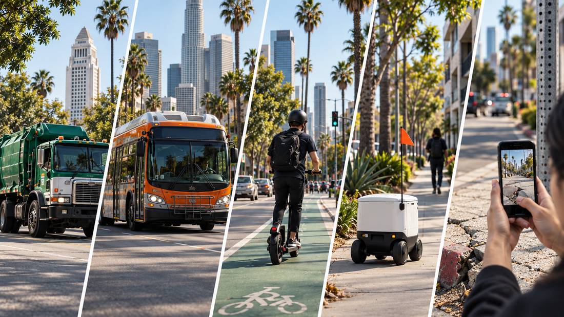
Every category of vehicle that moves through a city has, in the last few years, grown a camera, a motion sensor, or both. Most of that data is collected for a job that has nothing to do with street conditions. That is the opportunity.
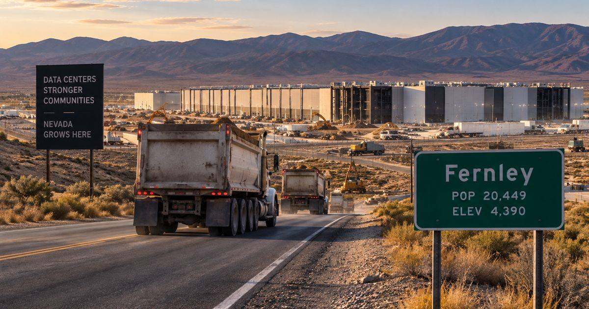
Garbage trucks and city cars, with a phone on the dash. vialytics, which says more than 1,000 communities in seven countries use it, runs on a smartphone mounted in any municipal vehicle, photographs the road every 10 feet, and classifies 15 kinds of road damage as the vehicle goes about its normal route. The City of Ferris, Texas, assessed all 29 miles of its streets in about six hours of drive time with city owned and employee owned vehicles, on a one year contract of $10,336, and used the result to build a five year capital plan. Its city manager said the tool did in 60 staff hours what would otherwise have required a consulting contract or years of piecemeal visual checks. RoadBotics, spun out of Carnegie Mellon's Robotics Institute to do the same thing with phone video, was bought by Michelin in 2022. Blyncsy, which reads more than 50 kinds of roadway issues out of commonly available dashcam imagery and sends Hawaii's DOT a weekly report on guardrails, pavement, and vegetation, was bought by Bentley Systems in 2023. Big companies do not buy phone and dashcam based road sensing because it does not work. Know the limit, though: these tools score roadways for planning. None of them sees a sidewalk, passes weekly, or checks a closure.
Buses. LA Metro contracted with Hayden AI for $10.5 million to put 100 AI camera systems on buses, and since February 2025 the cameras on the Wilshire and La Brea routes have watched the roadway on every trip. They exist to catch cars parked in bus lanes: in their second month they helped issue more than 9,700 citations where officers had managed about 570 a month on foot, with a human traffic officer making the final call on each one. Hayden says the system processes on the bus and uploads only what is needed to issue a violation. The relevant fact for this article is simpler: a fleet that runs the same corridor dozens of times a day now carries an AI camera pointed at the road, purchased for a different job.
Scooters and bikes. Every shared scooter already carries GPS and an accelerometer, and the vibration a rider feels is a measurement. A 2025 study in Frontiers in Built Environment paired scooter vibration data with a phone's sensors and classified the surface underneath (concrete, asphalt, cobblestone, grass) with accuracies above 95 percent, and noted the approach could plug into what operators like Beryl already collect. Los Angeles has run one of the country's largest dockless programs since 2019; in the pilot year alone LADOT permitted 36,170 vehicles, with an average of 12,800 deployed on any given day. Those vehicles ride the bike lane and the gutter pan, the part of the street a survey van's lasers were never aimed at.
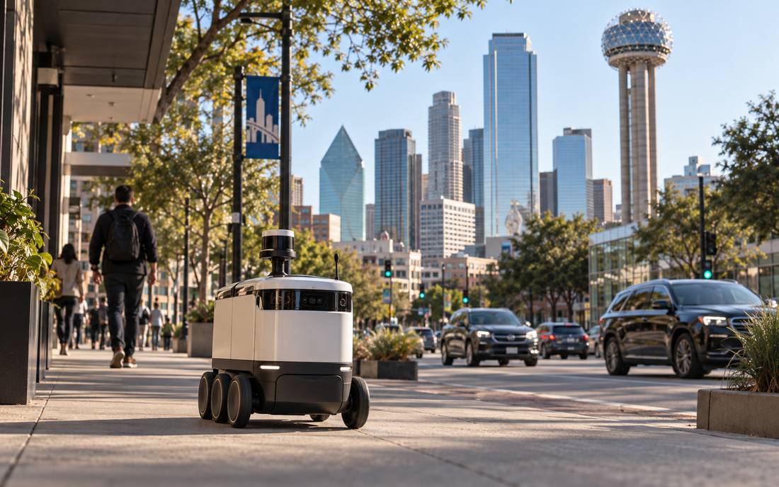
Sidewalk delivery robots. Serve Robotics now has more than 500 robots working 40 Los Angeles neighborhoods, up from two neighborhoods in 2023, inside a national fleet of about 2,000. Its chief executive told the Los Angeles Times the company shares operational data with cities before it enters them, "such as maps of curb cuts and intersections requiring manual pedestrian crossing buttons." NVIDIA, whose chips run the robots, says the fleet logs about a million miles of data a month. A robot that crosses a curb ramp at walking speed, several times a day, is the most frequent sidewalk observer any city has ever had, and it is already producing the inventory Caltrans spent two years piloting LiDAR to build. It also draws complaints: Glendale council members worried this spring about robots obstructing accessibility ramps. Both things are true, and a city can turn the second into a condition of the first.
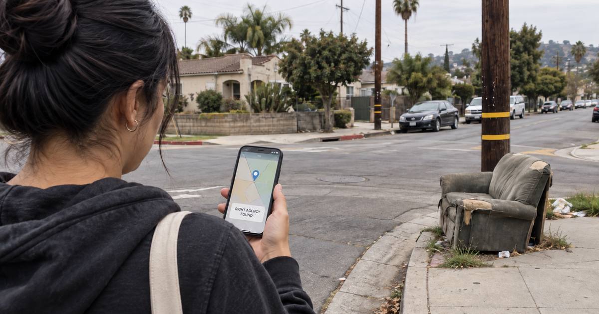
Residents. The cheapest sensor is still a person with a phone, because the person can say what they are looking at. Boston proved the passive version works and showed its limit. Street Bump, its 2011 app, used a phone's accelerometer and GPS while residents drove; it kept false positives under 10 percent, and its biggest finding was that sunken manhole covers caused four times as many bumps as potholes, which led the City and its utilities to fix 1,250 of the worst. The program ended in 2014. It found the problem; it did not build the loop that keeps finding it. CLARK AI by Tea For Streets is the active version: a person points a phone, says what they see, a human reviews it, and the report files through official 311 channels with a case number that we track to a City reported outcome. See How to report a pothole in the City of Los Angeles with CLARK AI
And here is the part most people miss: the pipe between these fleets and the City already exists. LADOT's Mobility Data Specification takes real time data from permitted scooters, taxis, and delivery robots for permitting and enforcement, and the original dockless permit required operators to integrate with MyLA311. The City built the plumbing to regulate the vehicles. It has not yet asked them what they see.
Each vehicle sees a different street
The tradeoffs are real, and they are the reason no single fleet is the answer.
Seven things that see the street
Read the table down the "what it misses" column and the shape of the answer appears. The survey van sees the roadway precisely and rarely. The fleets see the roadway, the bike lane, and the sidewalk constantly and imprecisely. The resident sees context. No one of them replaces the others. Together they cover the street at every height a person uses it, and all but the first are already paid for. Then read the last column once more. Every cheap sensor on the street belongs to someone else. A city that wants to count on the data will eventually want an instrument it controls, and that instrument does not need to cost what the survey van costs.
How often is often enough?
Frequency is where the economics flip, so it is worth being specific.
The rules on the books were written for the van. Federal regulation requires state DOTs to collect pavement condition on the Interstate every year and on the rest of the National Highway System at least every two years. For local streets, the standard the Bay Area's Metropolitan Transportation Commission certifies cities against calls for inspecting arterials and collectors every two years and residential streets every five. Those cadences make sense for a slow variable: StreetsLA resurfaces major streets every 15 to 20 years and residential streets every 25 to 30, and slurry seals every three to seven.
The conditions residents call about move on a different clock. After the February 2024 storms, StreetsLA closed 8,937 pothole service requests in five weeks, 13,287 individual repairs, in a city whose service level for a pothole is three business days. Dumped trash and graffiti change by the day. A sidewalk lifts over years, then becomes a hazard the morning a root wins. A survey every two years cannot see any of that. A fleet that passes the block twice a day can see all of it.
So the cadence we would ask a city to hold is three layers, not one:
Planning layer
A phone on the vehicles that already drive every street, producing a condition score every year instead of every two to five, at a cost closer to Ferris than to a survey contract. Keep the survey van for the engineering questions it was built for, on the corridors that justify it.
Response layer
Arterials and collectors every week, residential streets every month, from whatever already moves there, plus a pass within 72 hours after a storm. At the City's three business day service level, a pothole found on a weekly pass is filled within about ten days of forming instead of whenever someone complains.
Verification layer
One return visit to every spot the City reports closed, by something other than whoever closed it. This is the layer no survey has ever done and the one that makes the other two worth paying for.
And one caution that only shows up once you run the numbers on a fleet: the problem stops being too few passes and becomes too many reports of the same pothole. Two scooters, a robot, and a bus will all cross the same defect before lunch. A city does not want four reports; it wants one case, one number, one closure, one verification. That is a software problem, not a hardware one, and it is the part that decides whether fleet data helps a public works department or buries it. See How much 311 call volume can a city actually deflect?
The cheapest instrument is the workflow
Everything above points at the same conclusion. A city does not need survey grade LiDAR, a robotaxi's sensor stack, or a research lab to know what is wrong on a block. It needs a way for an observation, from any of the things that already move, to become a case in the system the City already runs, with a status a resident can read, a closure that means something, and a check that the condition is gone. Boston had the sensor and lost the loop. Los Angeles has the fleets, the data pipe, and a 311 system that accepts a report in seconds, and it has not yet connected them.
That is not a technology gap. It is an intention and workflow gap: someone deciding that a delivery robot's curb ramp map or a bus camera's pothole should become a work order, writing down the rule for what counts, and making sure the answer comes back. The instruments got cheap. The loop is the product. See What does "Closed - See Comments" mean on a MyLA311 request?